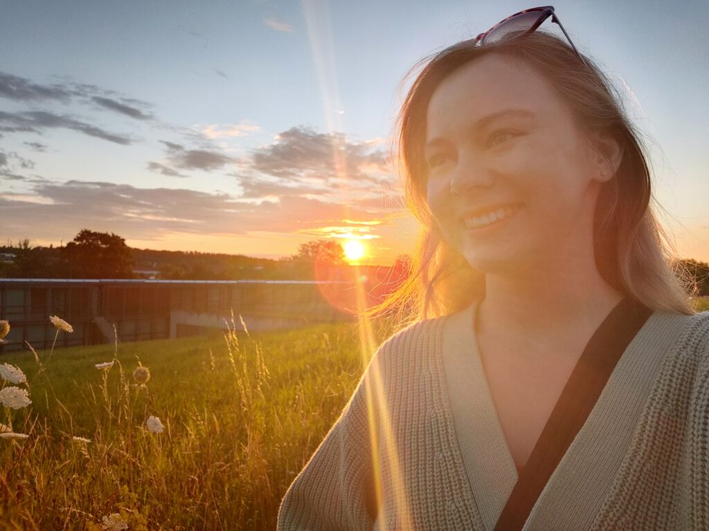
My Internship at Esri, in Germany
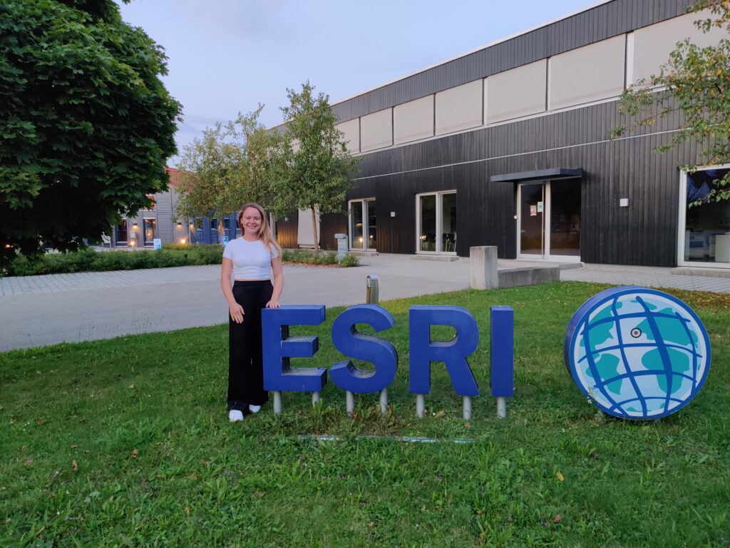
In summer 2021, I completed my intership as part of my master studies at Esri, in Kranzberg. Kranzberg is a small town near Munich, in Germany. I was working in the Esri Education & NGOs Team for two months, from July to September, and had a great time!
What I appreaciate most about this intership are the people I met and the things I learned, during this time. Although I was associated with a particular team, everyone I met was super friendly and welcoming. I really enjoyed the lunch breaks we had and the overall atmosphere, I experienced.
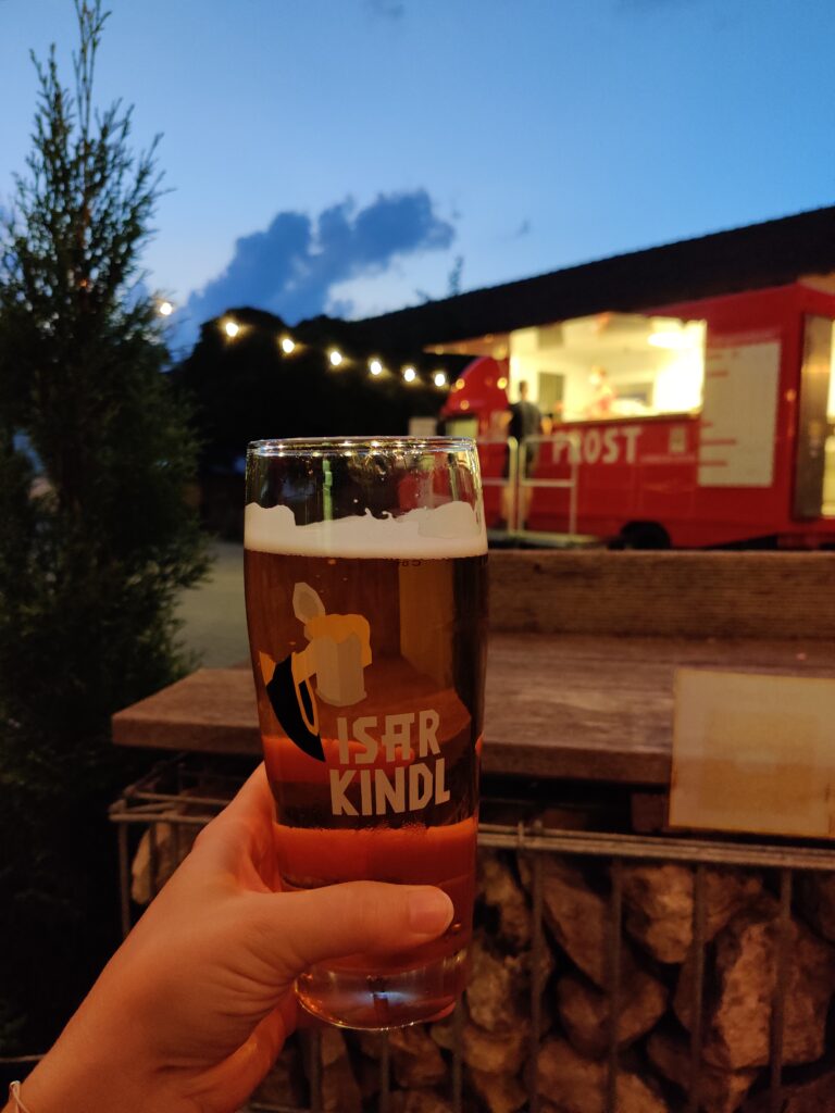
A summer in Bavaria
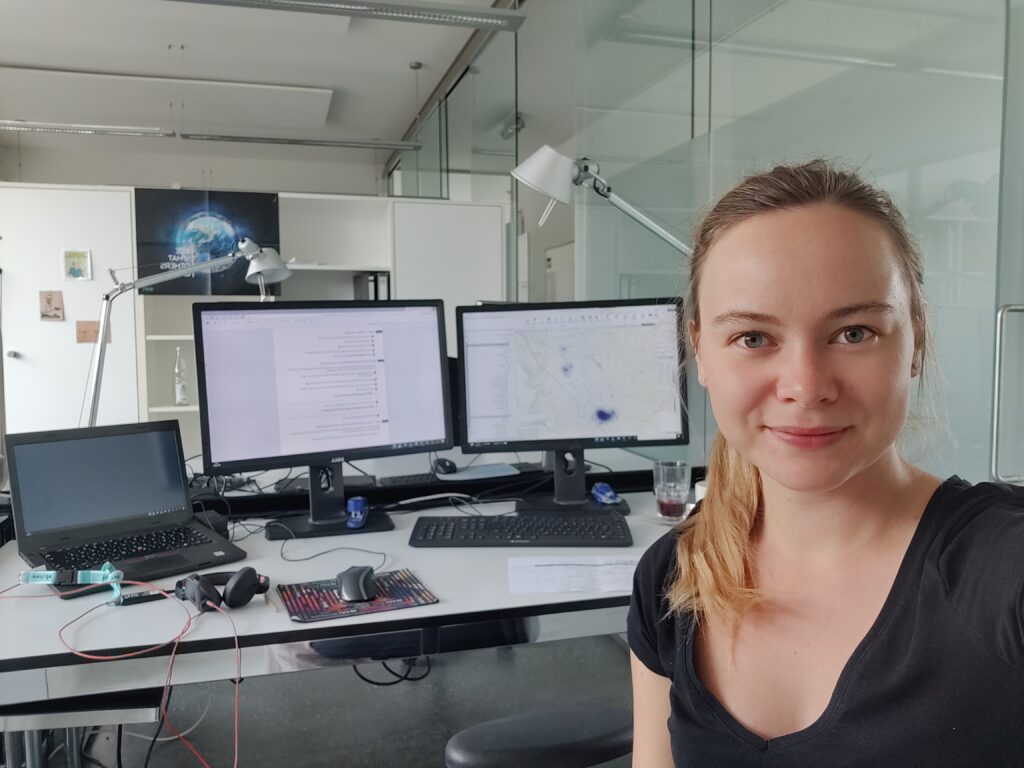
First impressions & tasks
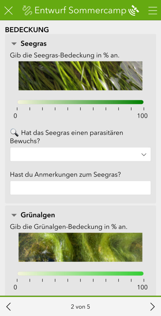
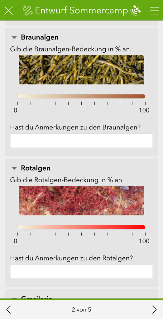
Working closely with my team in meetings and while creating materials, I got to dive deeper into several ArcGIS tools and picked up lots of new skills along the way. Early in my internship, I focused mainly on ArcGIS Survey123, ArcGIS Maps, and ArcGIS StoryMaps. Even though I was already familiar with them, preparing for the summer camp gave me the chance to explore new features in Survey123 Connect more thoroughly.
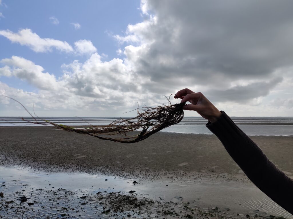
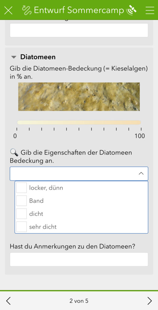
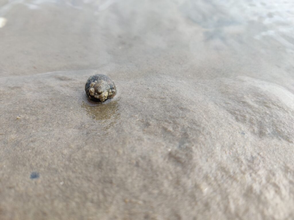
One highlight was designing a survey for mapping seagrass meadows in the Wadden Sea National Park. I really enjoyed making the form as clear and user-friendly as possible—using images (like algae types and tidal flat animals), adding helpful descriptions, organizing everything with pages and sub-menus, and using smart logic so questions only appeared when needed. My goal was to make sure the students knew exactly what to look for and felt confident using the tool.
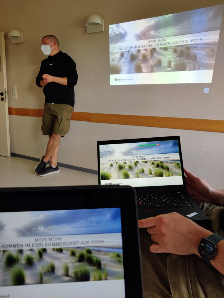
Summer Camp on Föhr, August 2021
Quick stop in Hamburg
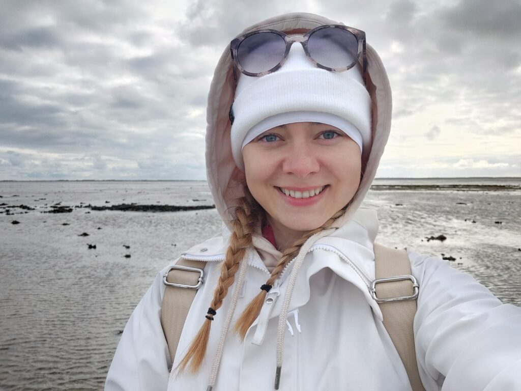
The summer camp on Föhr was definitely one of the absolute highlights of my internship. Full stop! Together with two Esri Education colleagues from Münster and Hamburg, I had the chance to visit the Wadden Sea National Park on the island of Föhr to support two school classes in mapping local seagrass meadows. I mean—who expects a field trip like that when applying for an internship in the middle of Bavaria?
We spent about a week on the North Sea island, accompanied by park experts, a geoinformatics specialist, and a marine biologist who all know the area, its flora and fauna, like the back of their hand. An amazing experience!
Before heading to the island, I made a quick stop in Hamburg. It’s quite a long train ride, and hey—who would say no to a walk through Hamburg? 🙂
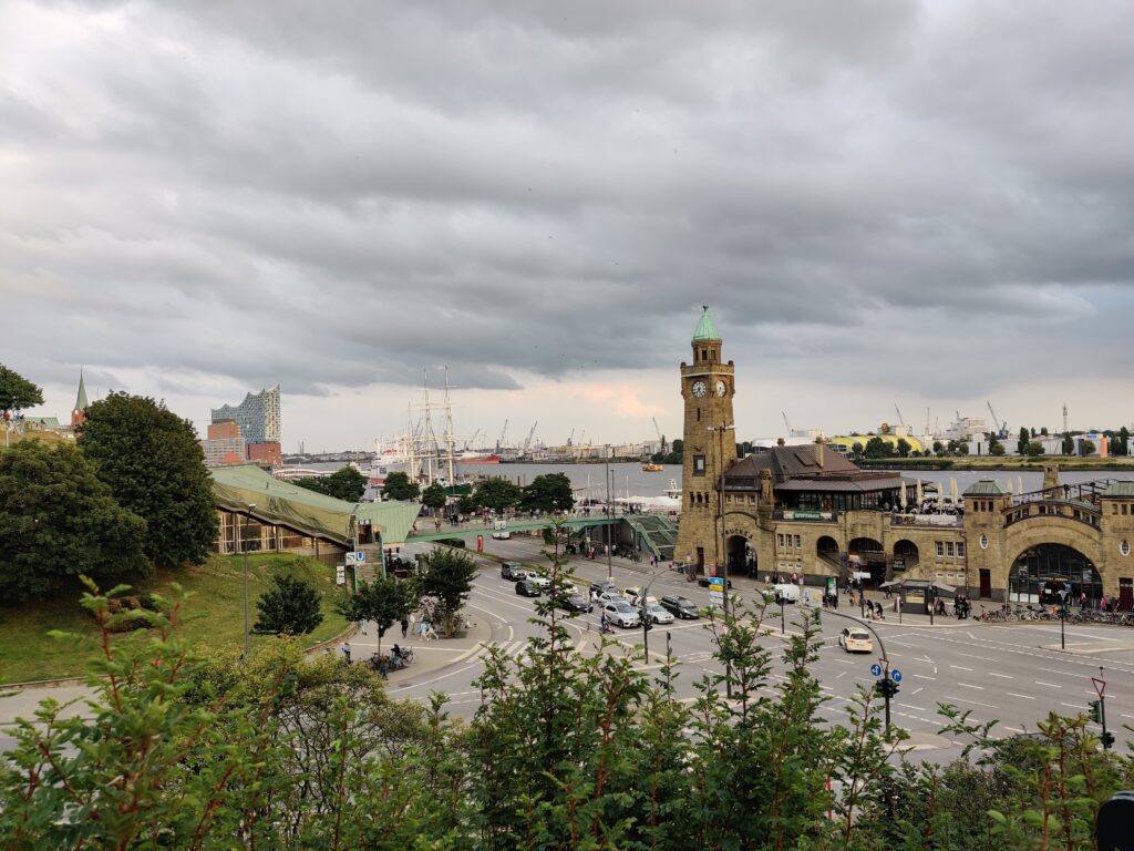
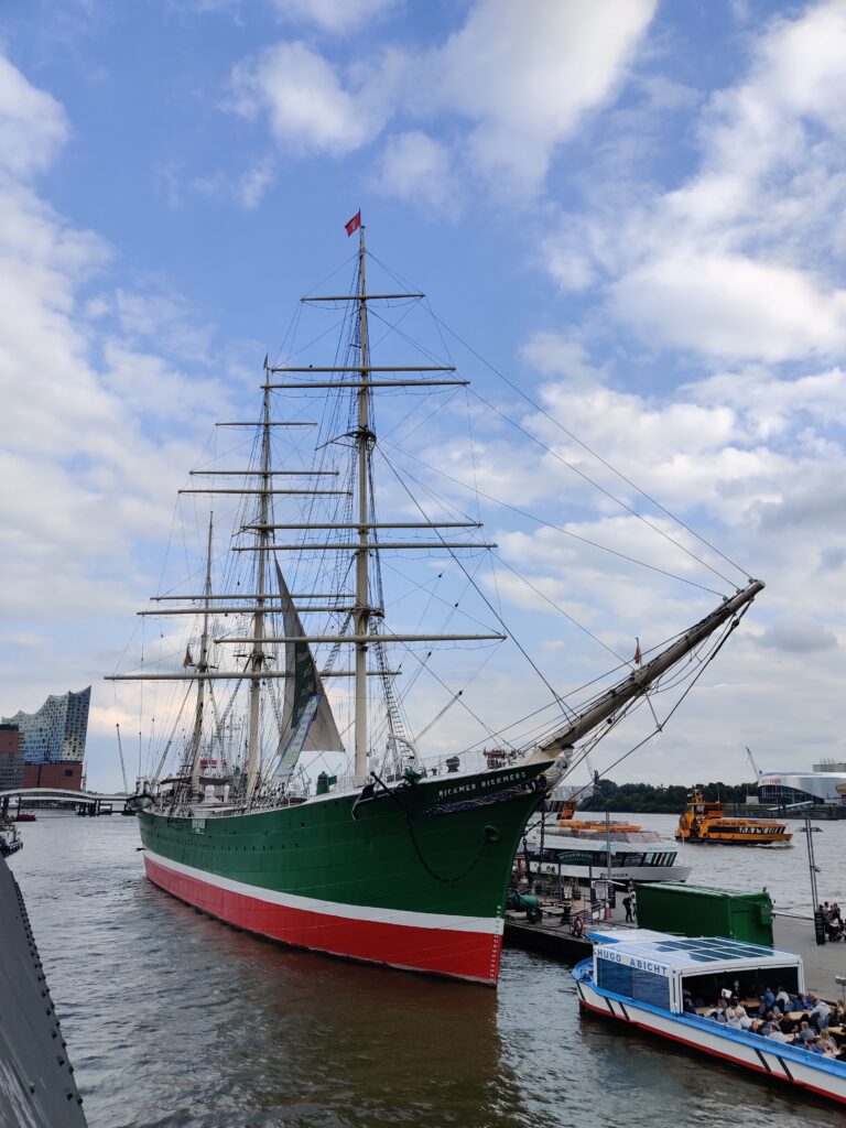
After that, my colleague from Hamburg and I took the train through Schleswig-Holstein and then caught the ferry out onto the North Sea: we arrived on Föhr. A truly memorable experience—it was my first time visiting the area.
The seagrass meadows on Föhr have been regularly mapped for many years, and the Esri Summer Camp plays a meaningful role in that effort. Through field surveys, students document seagrass, algae, and tidal flat animals. My role was to support the school classes both technically and didactically throughout the process.
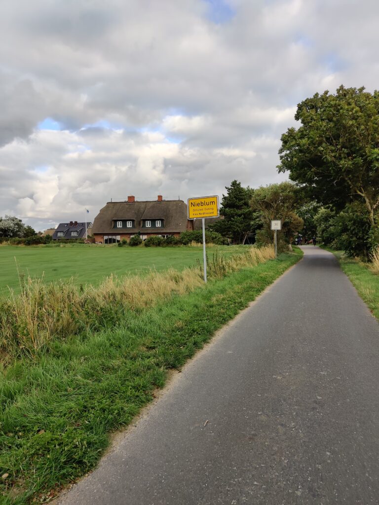
Arriving on Föhr
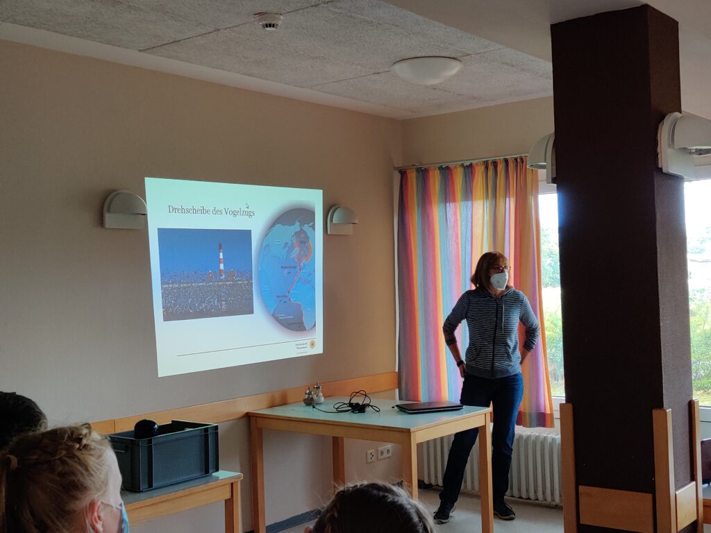
First, we had an introductory training covering several key areas:
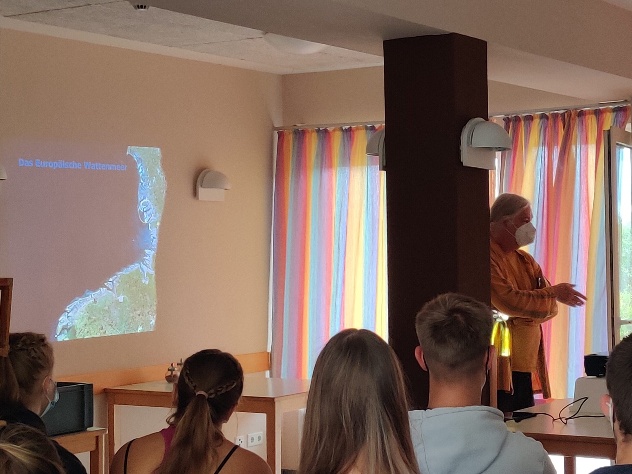
- What is GIS and how do we work with it?
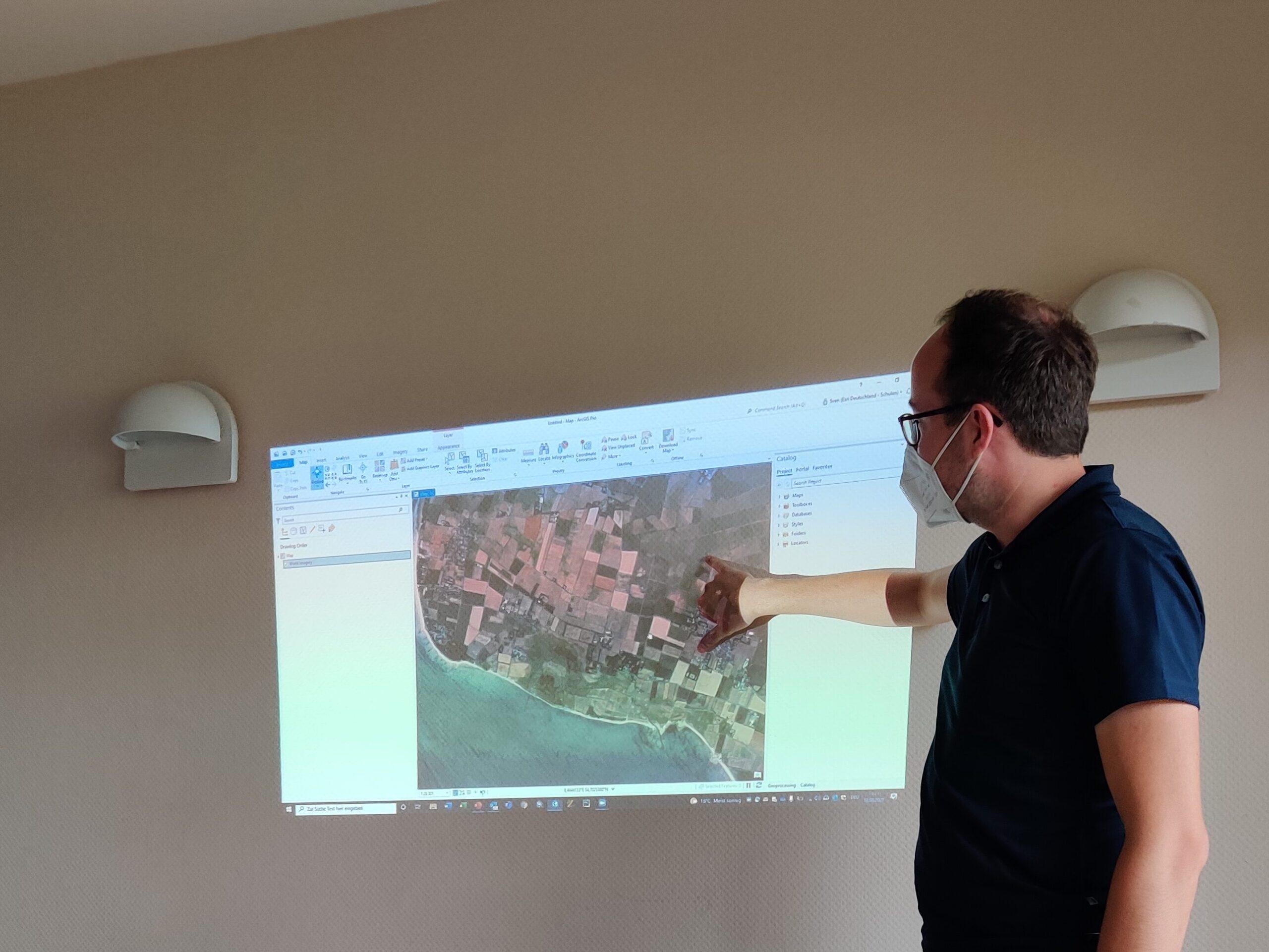
We got the students familiar with the basics of Geographic Information Systems and the workflows we’d be using. - Introduction to ArcGIS Tools:
We explored the tools we’d rely on during the project, especially Survey123, to collect and analyse data in the field. - We took a deep dive into the local ecosystem:
What types of algae can be found here?
What does seagrass look like?
Which animals inhabit the tidal flats?
How do I accurately count organisms within a designated area?
How do I correctly estimate coverage?
…and much more. - We also learned why the European Wadden Sea is so important
It serves as a crucial hub for migratory birds.
Seagrass plays a vital role as a carbon sink, helping combat climate change.
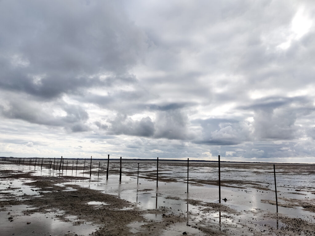
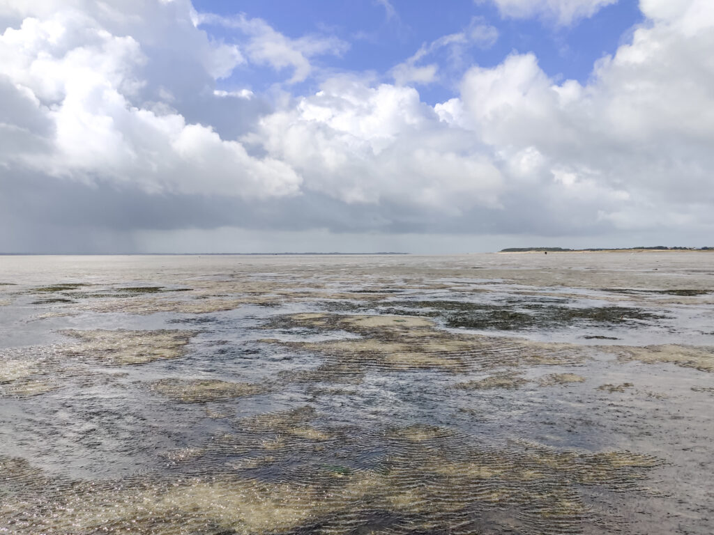
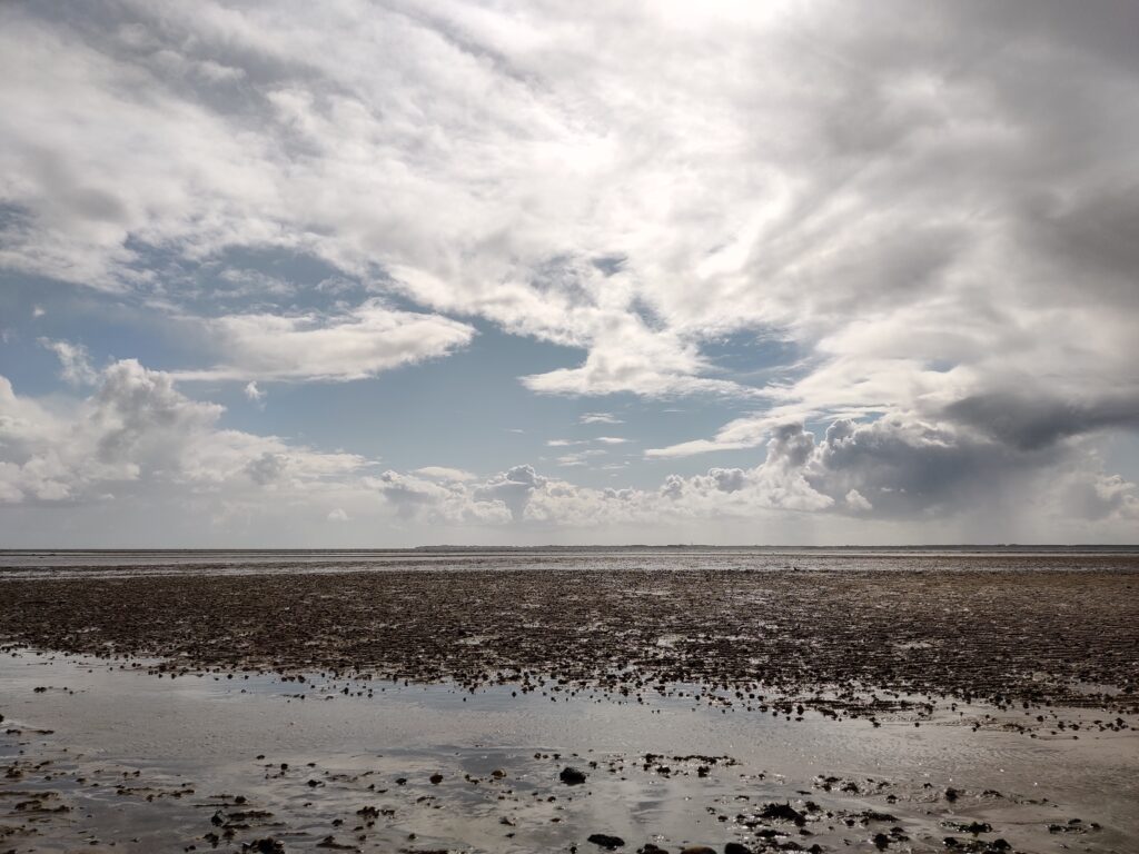
Data Acquisition at the National Park Wadden Sea
After that, we headed straight out into the tidal flats. One important thing to keep in mind was whether it was high or low tide. This is where geoinformatics really comes in handy—we can use apps, similar to weather forecasts, to check water levels at a specific location and time. This knowledge is essential for safety, as a rapid rise or fall in water can lead to strong currents. That’s why it’s always important to explore the Wadden Sea with experienced guides.
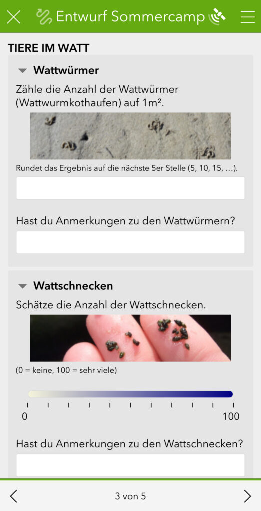
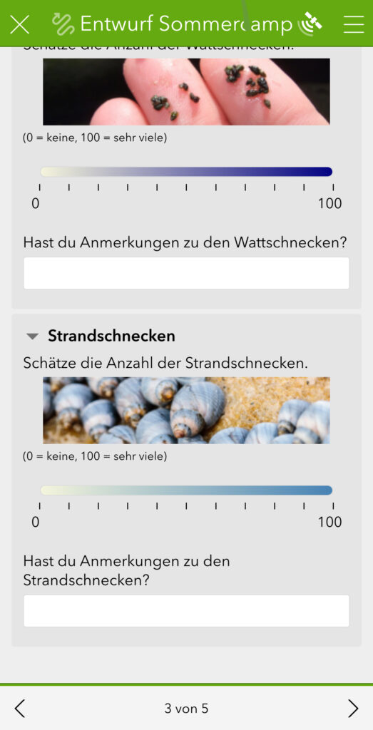
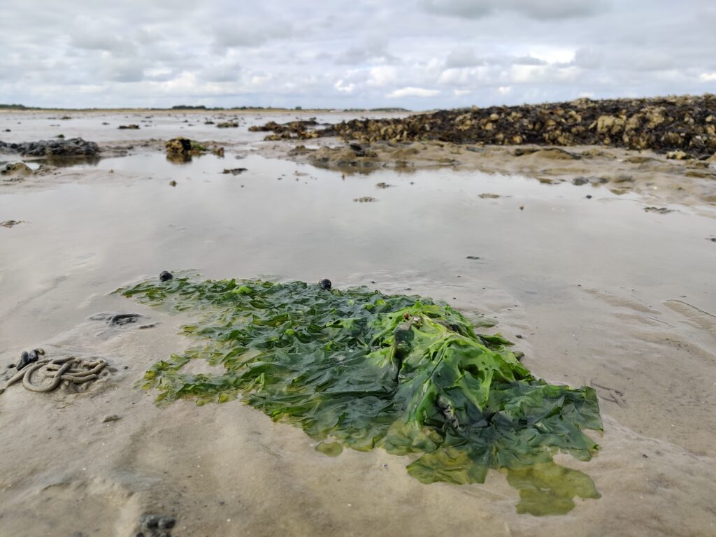
Using the survey I had created for the summer camp, we spent the whole day mapping in the field. The photos below capture some of the impressions and observations we made during our time out there.
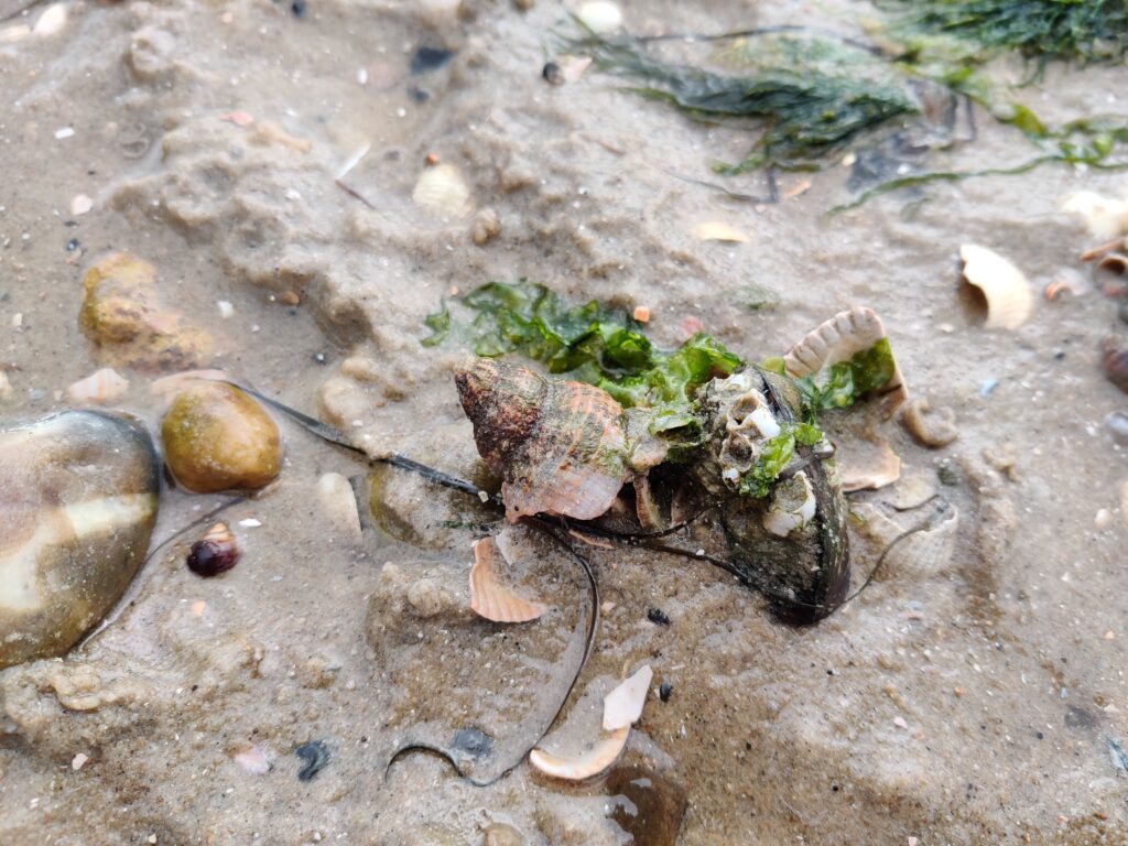
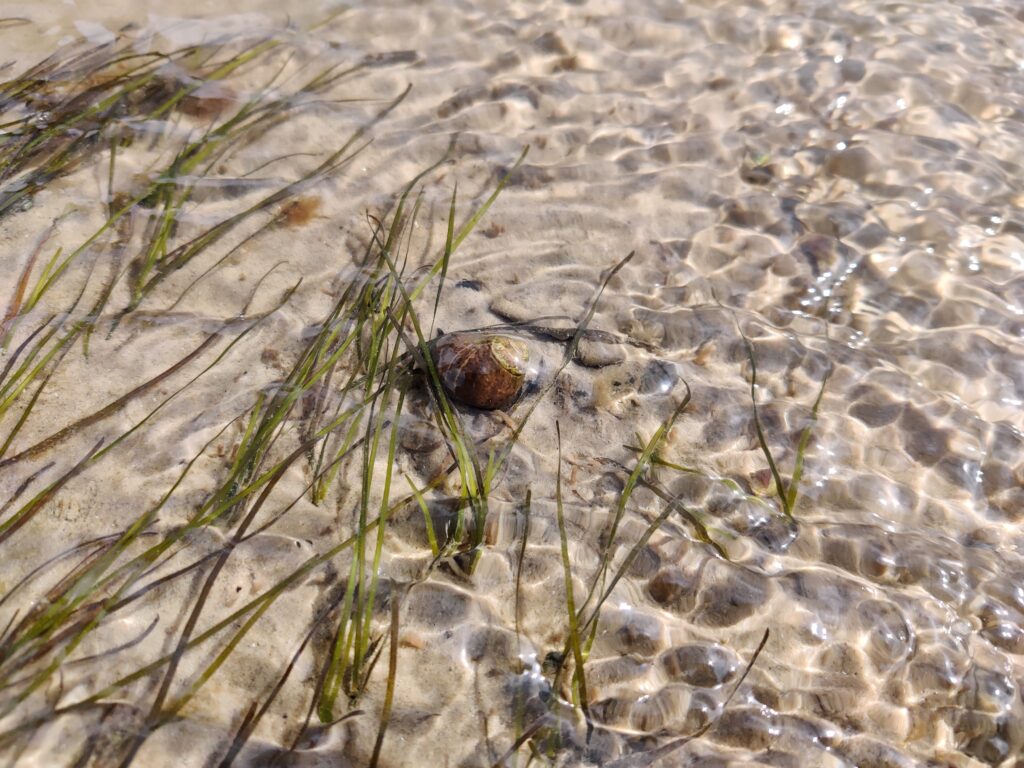
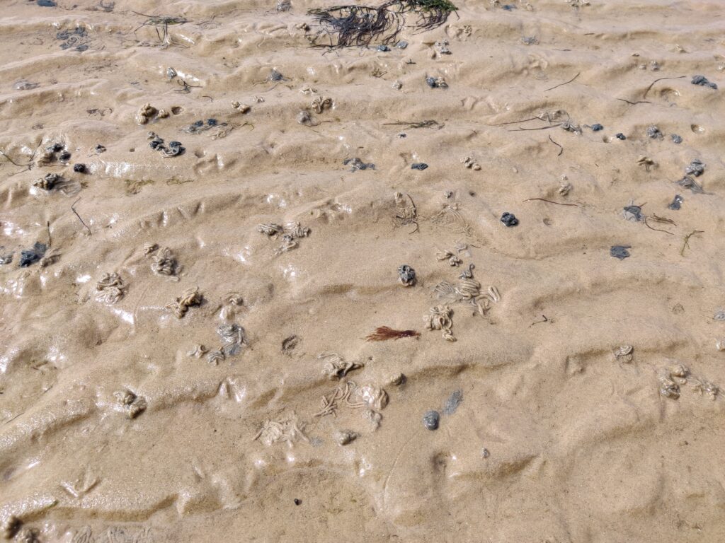
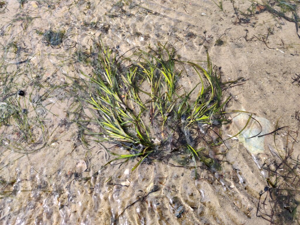
To be honest, it never really felt like “work” — riding bikes to the beach with students, standing in the sand while mapping, or analysing results in ArcGIS Pro and seeing the excitement on their faces as they told us how meaningful the experience was for them. Looking back, a lot of time and effort went into planning, conducting, and following up on the project, but in the end, it was truly a great success. And yes, I learned a lot too — about the Frisian Islands, lugworms, and why it’s absolutely essential to wear proper footwear in the tidal flats and understand the tides!
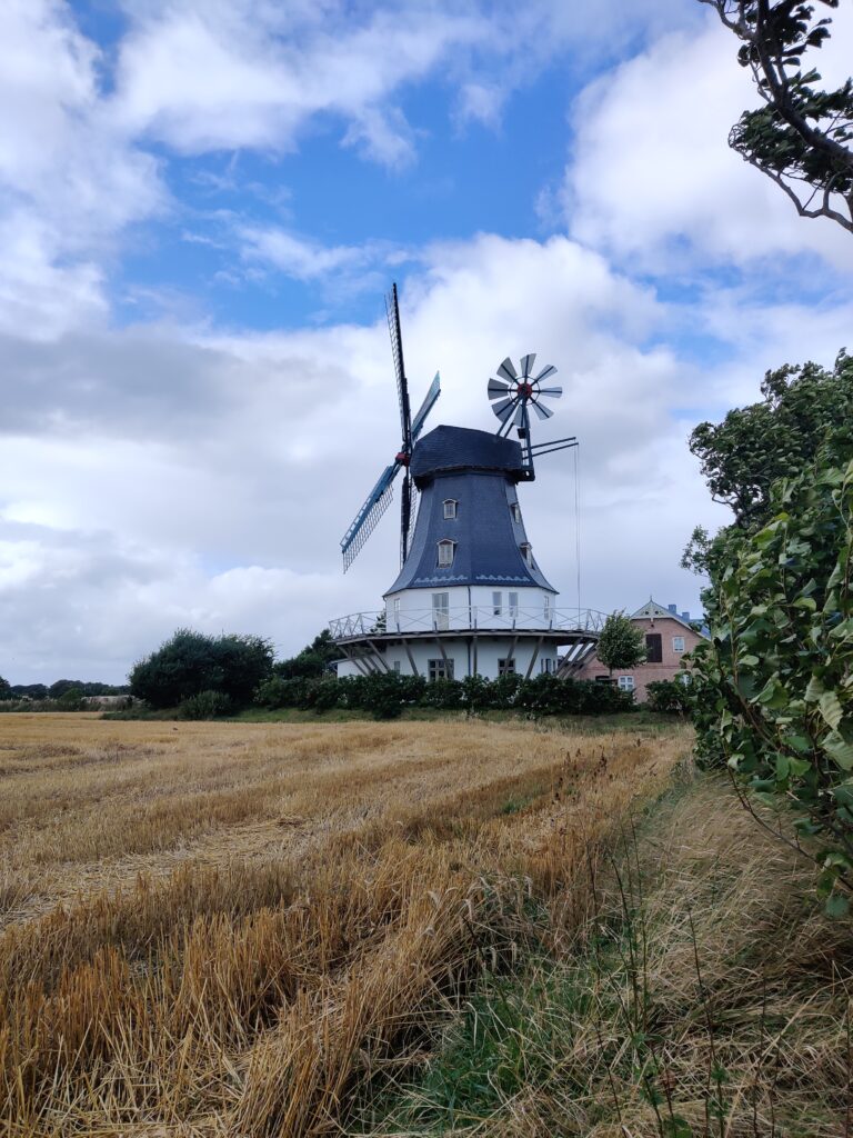
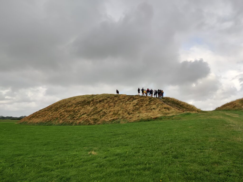
In between mapping seagrass meadows, we also had time for short bike tours across the island. Our guides shared fascinating stories about local maritime history, the Vikings and burial mounds, island architecture, neighboring islands like Amrum, and the unique flora and fauna of the Frisian Islands.
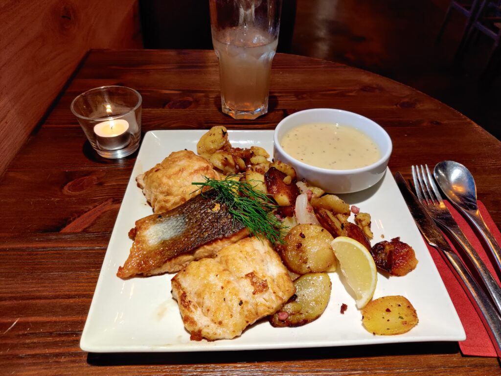
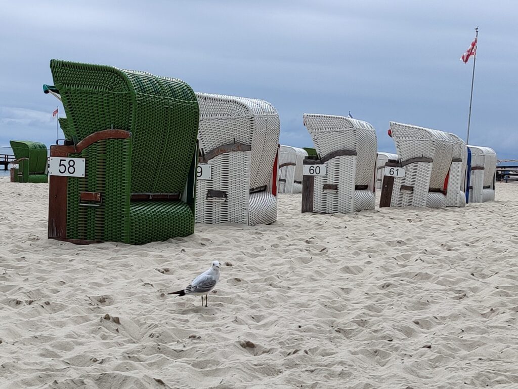
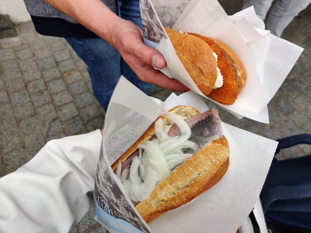
To wrap things up, we enjoyed some classic fish sandwiches—and a seagull saw us off as we headed back to the mainland.
After the Esri Summer Camp 2021, I wrote a blog post for Esri’s education blog gisIQ. Feel free to check it out and give it a read:
Back in Munich and late summer in the office
After the summer camp, I mainly supported the creation of materials for the Schulgeografentag Niedersachsen, contributed to posts for Esri’s education blog gisIQ, and helped manage the Education team’s Instagram account. I also had the opportunity to attend internal trainings, where I gained hands-on experience in spatial statistics, geodata visualization, and using Python in ArcGIS Pro.
By the end of my internship, I had settled in so well with the team and the workflow that we decided to continue working together in the form of a student assistant position. This allowed me to remain part of the Esri Education Team until the end of March the following year. Due to the demands of my teacher training program, I eventually had to leave the role to focus on completing my master’s degree. Otherwise, I could easily have imagined staying on with the team longer.
What makes me especially happy is that, even years later, I’m still in touch with people I met and worked with during my internship. It’s always a joy to reconnect at events like the Runder Tisch in Munich, INTERGEO, AGIT, or the Esri UC—and I think that speaks for itself!
I look back on my time at Esri with real appreciation and am genuinely glad that my studies obliged me to spend the summer working. It brought me so many great moments—and plenty of useful skills, too!
Botanical garden in Freising