Why,

01.
Hi, I'm Katharina
I am a researcher at the Department of Geoinformatics Z_GIS, at the University of Salzburg, in Austria.
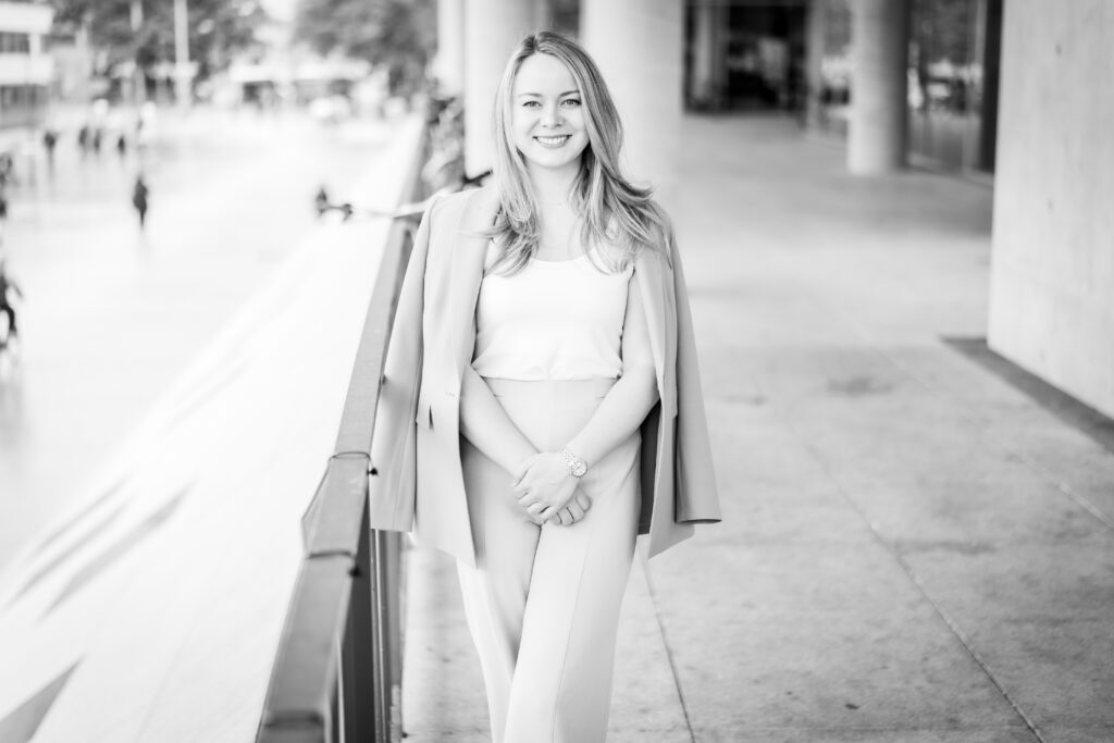
I work as doctoral student in the field of Spatial Simulation, with a focus on health and vector-borne diseases. Additionally, I teach Geoinformation and Geocommunication for teacher training students at Bachelor level in Salzburg and Linz, and OpenGIS and GI Infrastructures at Master level for the UNIGIS distance learning programme. Welcome to my eportfolio, where I share latest news, thoughts, and key takeaways from courses!
02.
Education
Bringing together data and location to create information and knowledge, motivates me. Asking why, where, and what-if questions, drives me.
Spatial Simulation
I am currently working in the field of Spatial Simulation. Pursuing a PhD in Geoinformatics with a focus on spatial health simulations will be my focus in the upcoming years, from 2025 onwards.
Geoinformatics
I study in the masters programme of Applied Geoinformatics (MSc) at the renowned Department of Geoinformatics Z_GIS, at the University im Salzburg, where I've also been working as scientific staff since 2022.
Teaching
Having completed both Bachelor (B.Ed.Univ.) and Master of Education (MEd) programmes for teaching English, Geography and Economics, at the University of Salzburg, I am a qualified teacher for Secondary Level education.
Art history
I completed a Bachelor of Arts (BA) in Art History at the University of Salzburg. My main interests are architcture, and fine arts with a focus on the era around 1900. I am also very much interersted in looted art and restoration.
03.
ePortfolio
Take a look into my works at the Department of Geoinformatics Z_GIS, at the University of Salzburg during my time as a master student in Applied Geoinformatics.
The Master programme Applied Geoinformatics at the Department for Geoinformatics Z_GIS, University of Salzburg offers a broad range of courses that provide the basics and advanced methods in the field, but at the same time allow for individual interests to be incoorportated. I took classes in both Spatial Analysis and Remote Sensing. In the end, my focus leaned towards spatial analysis and modelling, with an occasional need for raster input data, still. Below, you can find several blog posts about the modules from the Applied Geoinformatics Curriculum (version 2016) I was enrolled in. Just click on them to read them.
During my master degree, I completed the following modules:
- GIScience & Theory
- Methods in Geoinformatics (individually chosen)
- Geodata Acquisition
- Advanced Remote Sensing
- Advanced Cartography and Visualisation
- Spatial Analysis & Modelling
- Geo-Application Development
- Spatial Data Infrastructures
- Integrated Project
- Internship
- Electives
People think of education as something they can finish.